Another province of Sri Lanka mostly known for its golden beaches and the natural harbour, the Eastern Province which is 9,996 km2 in extent consists of three administrative districts namely Trincomalee, Batticaloa and Ampara. Between 1988 and 2006 the province was temporarily merged with the Northern Province to form the North-East Province. However, the North-East Province North-East Province was formally de-merged into the Northern and Eastern provinces on 1″ January 2007 according to a ruling of the Supreme Court.
The province is surrounded by the Northern Province on the north, the Bay of Bengal on the east, the Southern Province on the south, and the Uva, Central and North Central provinces on the west. The province’s coast is dominated by lagoons, the largest being Batticaloa Lagoon, Kokkilai lagoon, Upaar Lagoon and Ullackalie Lagoon.
Trincomalee is the capital of the Eastern Province lying on the east coast of the island, about 113 miles south of Jaffna. Trincomalee is world famous for the natural deep water harbour. The city is built on a peninsula, which divides the inner and outer harbours. The city is home to the famous ancient Koneswaram temple alluded to in its historic Tamil name Thirukonamalai from which its anglicized name is derived, and has been a sea port that has played a major role in the maritime and international trading history of Sri Lanka. It is referred to as Gokanna in Pali or Gokarna in Sanskrit.
The Bay of Trincomalee harbour is renowned for its large size and security; unlike every other in the Indian Sea, it is accessible to all types of craft in all weathers. The beaches are used for urfing, scuba diving, fishing and whale watching. The city lso has the largest Dutch fort in Sri Lanka. It is home to major Sri Lankan naval bases and a Sri Lankan Air Force base. The town is situated on a hill at the end of a natural land formation that resembles an arc; the temple is built on Swami Rock, historically referred to as Kona-ma-Malai, a cliff on the peninsula that drops 400 feet directly into the sea.
Trincomalee, a natural deep-water harbour, has attracted seafarers like Marco Polo, Ptolemy and sea traders from China and East Asia since ancient times. Trinco, as it is commonly called, has been a sea port since the days of the ancient Sri Lankan kings. The earliest known reference to the port of Gokanna is found in the Mahavamsa stating that in 5th century BC, when King Vijaya who having failed to convince his brother to come to Sri Lanka as his successor, got down his youngest son Panduvasdeva, who landed at Gokanna and was subsequently enthroned at Upatissagama.
Trincomalee has many places of worship. Among them is the Konesvaram shrine which was demolished in 1622 by the Portuguese (who called it the Temple of a Thousand Columns), and who fortified the heights with the materials derived from its destruction. Some of the artefacts from the demolished temple were kept in the Lisbon Museum including the stone inscriptions.
The entrance to the roadway leading to Koneswaram is actually the entrance to what used to be Fort Fredrick. The fort was built in 1623 by the Portuguese and captured in 1639 by the Dutch. It then went through a phase of dismantling and reconstruction and was attacked and captured by the French in 1672.
Trincomalee strategic importance has shaped its recent history. The harbour, the fifth largest natural harbour in the world, is overlooked by terraced highlands, its entrance is guarded by two headlands, and there is a carriage road along its northern and eastern edges.
Trincomalee has some of the most picturesque and scenic beaches found in Sri Lanka, relatively unspoilt and clean. The area is famous for bathing and swimming, owing to the shallowness of the sea, allowing one to walk out over a hundred meters into the sea without the water reaching the chest. Whale watching is a common pastime in the seas off Trincomalee, and successful sightings are on the rise with the increase of tourism in the area.
There are the seven hot springs of Kanniya on the road to Trincomalee. A high wall bounds the rectangular enclosure which includes all seven springs. Each is in turn enclosed by a dwarf wall to form a well. The water is warm, the temperature of each spring being slightly different.
Batticaloa is another administrative district of the Eastern Province lying in between Trincomalee and Ampara districts and being 2,854 km2 in extent. Batticaloa is home to the largest lagoon of the island and in the district are many gorgeous beaches that attract a lot of local and foreign tourists. Fishing and agriculture are the main livelihoods of the people in the district.
Ampara is yet another administrative district of the Eastern Province. The district which has a total land area of 4,415 km’ is administered by a District Secretariat headed by a District Secretary appointed by the central government of Sri Lanka. The headquarters is located in Ampara town. The district was carved out of the southern part of Batticaloa district in 1958.
Archaeological Department has identified 55 ancient Buddhist shrines and archaeological sites in the Batticaloa and Ampara districts. A description of a few of these sites culled from the records of the Archaeological Department is given below:
Pulukunava
This site at the boundary of the Galoya scheme on the Ampara-Mahiyangana Road is on a large forested hill. On the southern scrap of the hill are a large number of drip ledged caves. In many of these caves are pre-Christian inscriptions. In the flat area south of this hill are the remains of a number of structures. Among these are a Dagoba dug into by treasure hunters, some pillared structures and a pond. Buried under the earth is the torso of a Buddhist statue. The structures at the site are girt by a Prakara.
Dutch Fort Batticaloa
A Dagoba chatra stone and an asana stone probably belonging to the early centuries of the Christian era were found inside the Fort. These appear to have belonged to a very early Buddhist structure.
Vakaneri
The ancient Sinhalese name for this area is “Vahaneriya”. In the Vakaneri colony near Valashena (Valachchenai) is an ancient site with a pilfered Dagoba and the remains of three structures. There are also the remains of a pond and a stone Prakara around it.
Samangala
This site is about 8 km to the west of the Kohombana junction on the Ampara-Gonagala Road. On the eastern escarpment of Samangala hill are a large number of drip ledged caves bearing pre-Christian Brahmi inscriptions. On a high boulder close to an ancient cave is incised the representation of a Dagoba similar to the Stupas at Sanchi.
Kotavehera
On the Amp ara-Hinguran a Road, there are the remains of a Dagoba mounted on a square platform and of a structure with stone pillars.
Dighavapi
The department has located 35 archaeological sites in the Dighavapi complex. The archaeological area is a mere 42 square kilometres in extent. The area declared under the Archaeological Department is only four hundred yards in radius of each site leaving the other areas unprotected under the Antiquities Ordinance No. 9 of 1940.
Moodu Maha Viharaya (Potuvila)
This site is on the seashore, near Potuvila (Pottuvil). Much of the remains at the site appear to be covered by sea sand. At an elevated site is a ruined Dagoba. West of the Dagoba are the remains of a pillared structure. There is a torso of a standing Buddha statue. On the south are an image house and a pond. East of the Dagoba are seen stumps of pillars and brick walls. It is believed that buried under a thick layer of sand are other remains of ancient structures.
Ratraveli Viharaya
The remains of a very ancient Dagoba of large dimensions have been found near the 73rd milepost on the Pottuvil-Panama Road. At this site are drip ledged caves, remains of ancient structures and Buddha statues of stone. The ancient name of the site was Bahogiri Nama Pavata according to an inscription of Mahadathika-Mahanaga (A.D. 7-19). The Archaeological Department says that there is no doubt that the site is the Maninaga Pabbata Vihara of the Mahavamsa.
Kudumbigala
Situated on the road from Panama to the Ruhunu National Park, Kudumbigala has a large number of drip ledged caves, some of which bear inscriptions. There are traces of paintings which go back to ancient times. On Kudumbigala, the largest rock at the site, are the remains of two small Dagobas.
Nilagiri Dagoba
This Dagoba situated at Lahugala is a very old one. To the south-east of the Nilagiri hill there are several caves with pre-Christian inscriptions. It is said that this may be the Pasanadipika Vihara constructed by Mahadathika Mahanaga (9-21 A.D.).
Mullikulam Malai
This site, originally known as Batu-vav Kanda, has now acquired the Tamilzed allonym “Mullikulam Malai”. There are two short rock inscriptions of the first century B.C. beside a flight of steps cut on the hill of Mullikulam Malai. Below the drip ledge of a cave is a cave inscription of the 1st century B.C.
Malayadi Kanda
On this hill, called Malayan Kanda in Sinhala, are many drip ledged caves. About fifteen of them have inscriptions and in one cave there are many paintings.
Magul Maha Viharaya
This has been known as the Ruhunu Maha Vihara in ancient times. It was built by King Dhatusena (453-474 A.D.). The structures here had been reconstructed by Vihara Maha Devi, wife of Bhuwenakabahu IV of Gampola and Parakramabahu V of Dedigama in the 14th century. Two inscriptions of this queen are at the site.


 Western Province
 Central Province
 Southern Province
 Uva Province
 Sabaragamuwa Province
 North Western Province
 North Central Province
 Northern Province
 Eastern Province
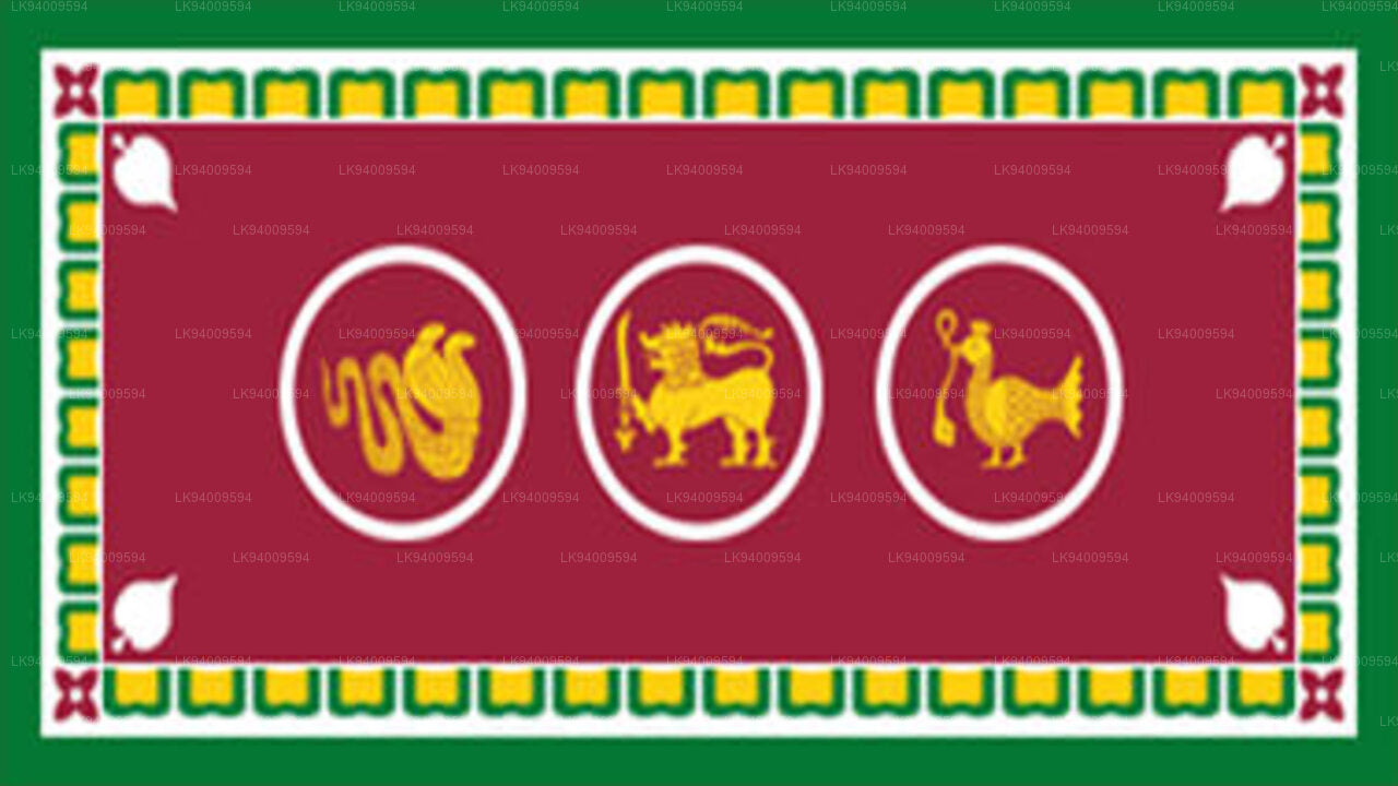


